
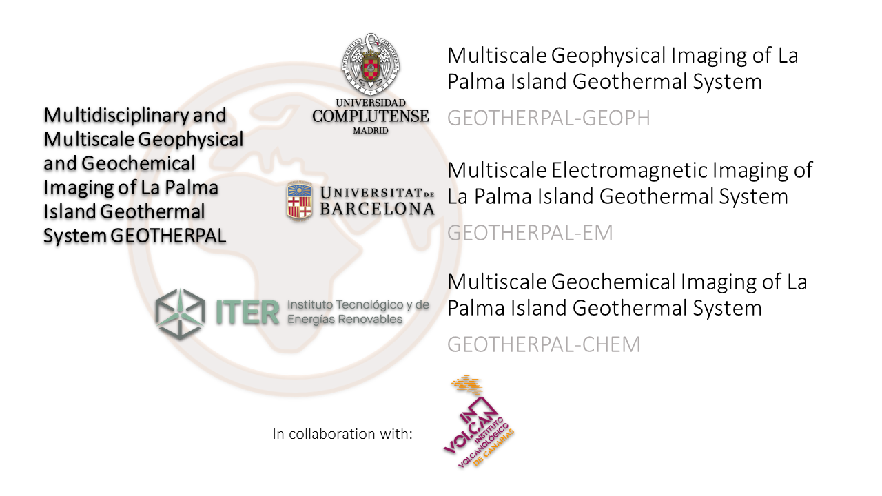
A unified model of the geothermal system of La Palma Island honouring all the different kinds of geophysical and geochemical data that are analysed not only individually but as a whole.
Do you want to know more?

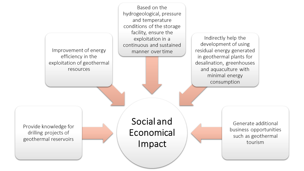
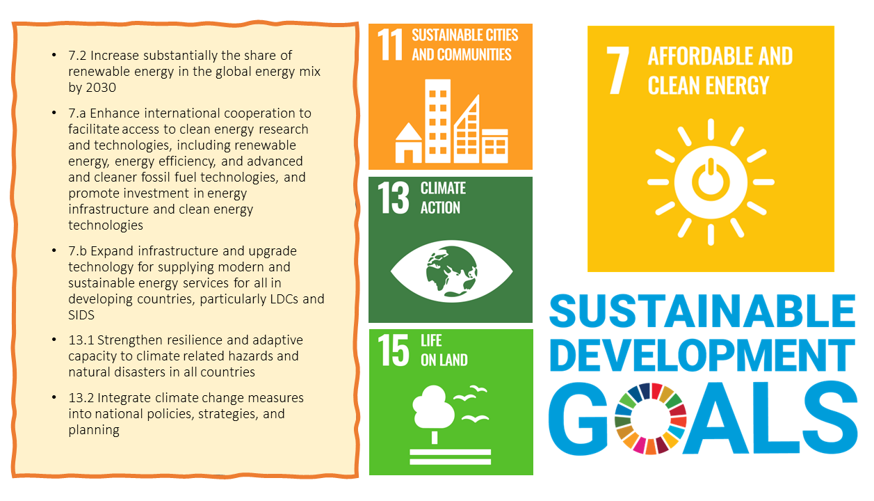
Geothermal energy is a clean, constant and inexhaustible energy that aids to reduce the fossil fuels dependence for energy production. The energy supply of the Canary Islands currently depends on more than 95% of fossil fuel sources, with geothermal research constituting a strategic action. According to the National Integrated Energy and Climate Plan, by 2025, 15 MW of geothermal power will be installed for electricity production and this figure will double by 2030, taking advantage of the Canary Islands being home of the largest medium-high temperature geothermal resource in Spain due to its volcanic nature.
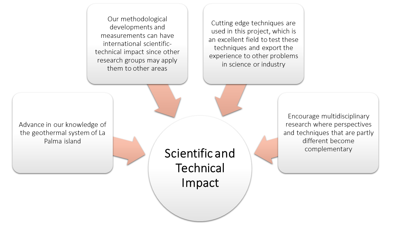
To fulfill these promises and for the correct application of clean technologies, it is essential to provide knowledge about subsurface structures, properties, and processes related to geothermal systems. GEOTHERPAL project is based on the application of cutting-edge geophysical and geochemical research to gain a solid understanding of the subsurface processes and properties to significantly enhance the potential of geothermal energy development in La Palma Island, Canary Islands, Spain. The development of this project is generating scientific knowledge for the deployment of renewable energies (geothermal) solutions based on nature and the improvement of the resilience of all economic sectors. Therefore, the very recent Tajogaite volcano eruption in La Palma claims a multidisciplinary and multiscale geophysical and geochemical imaging of La Palma Island geothermal system that is essential to estimate its geothermal potential.
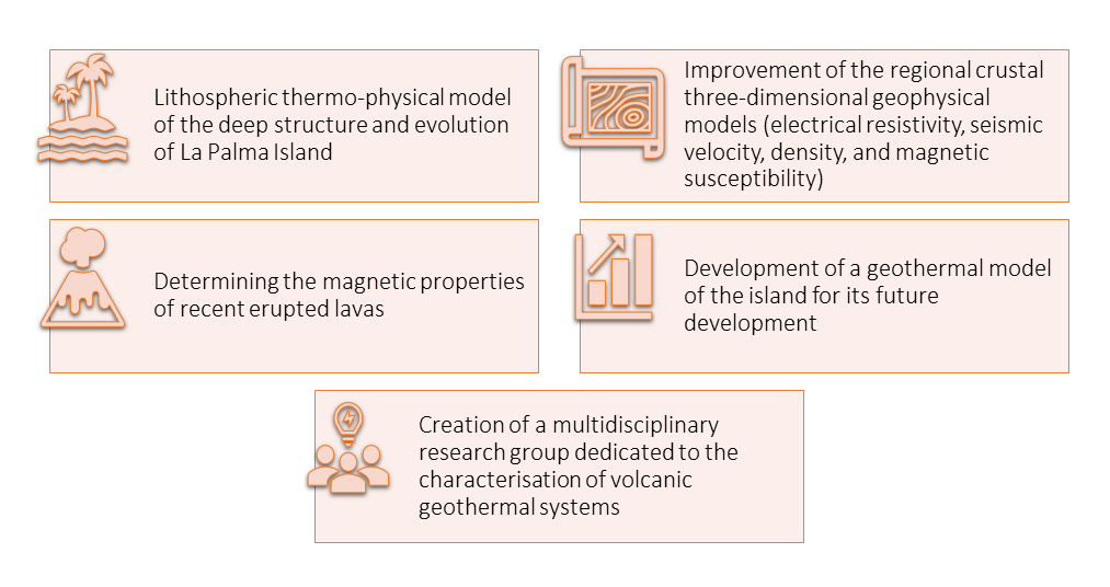
The main challenge of GEOTHERPAL project is the development of a unified model of the geothermal system of La Palma Island honouring all the different kinds of geophysical and geochemical data that are analysed not only individually but as a whole. Hence, we propose an approach from the deeper geodynamic processes that gave origin to La Palma island to the lab scale study of the physical and chemical properties of the erupted materials in the last months of 2021 together with the crustal electrical resistivity, density, seismic velocity, seismicity, and magnetic properties.


Three-dimensional view of the LP6-LP10 model. The volume corresponds to logarithmic resistivity differences between 0.2 and 2. Red sphere: 2021 Cumbre Vieja volcanic cone; Black sphere: Location of the long period MT site.

Map views at different depths showing the logarithmic difference between one 3-D resistivity model and the subsequent one. (A) and (B): major temporal alignments of resistivity anomalies.
Romero-Toribio, M. C., Martín Hernández, F., Ledo, J.: Determinación de la profundidad de Curie mediante métodos espectrales en La Palma (Islas Canarias) a partir del mapa de anomalías magnéticasXI Congreso Geológico de España 2024, Ávila, España, 2–4 Jul 2024, 2024.
Os traemos unas fotos del trabajo de medición de anomalías magnéticas en el Tajogaite (La Palma), realizado estos últimos días gracias a @drones4geology en el contexto del proyecto de investigación que dirige nuestra compañera Fátima Martín junto a Juan José Ledo. @Fisicas_UCM pic.twitter.com/eHca3Mjlqz
— PaleoMag UCM (@PaleoMag_UCM) June 28, 2024

